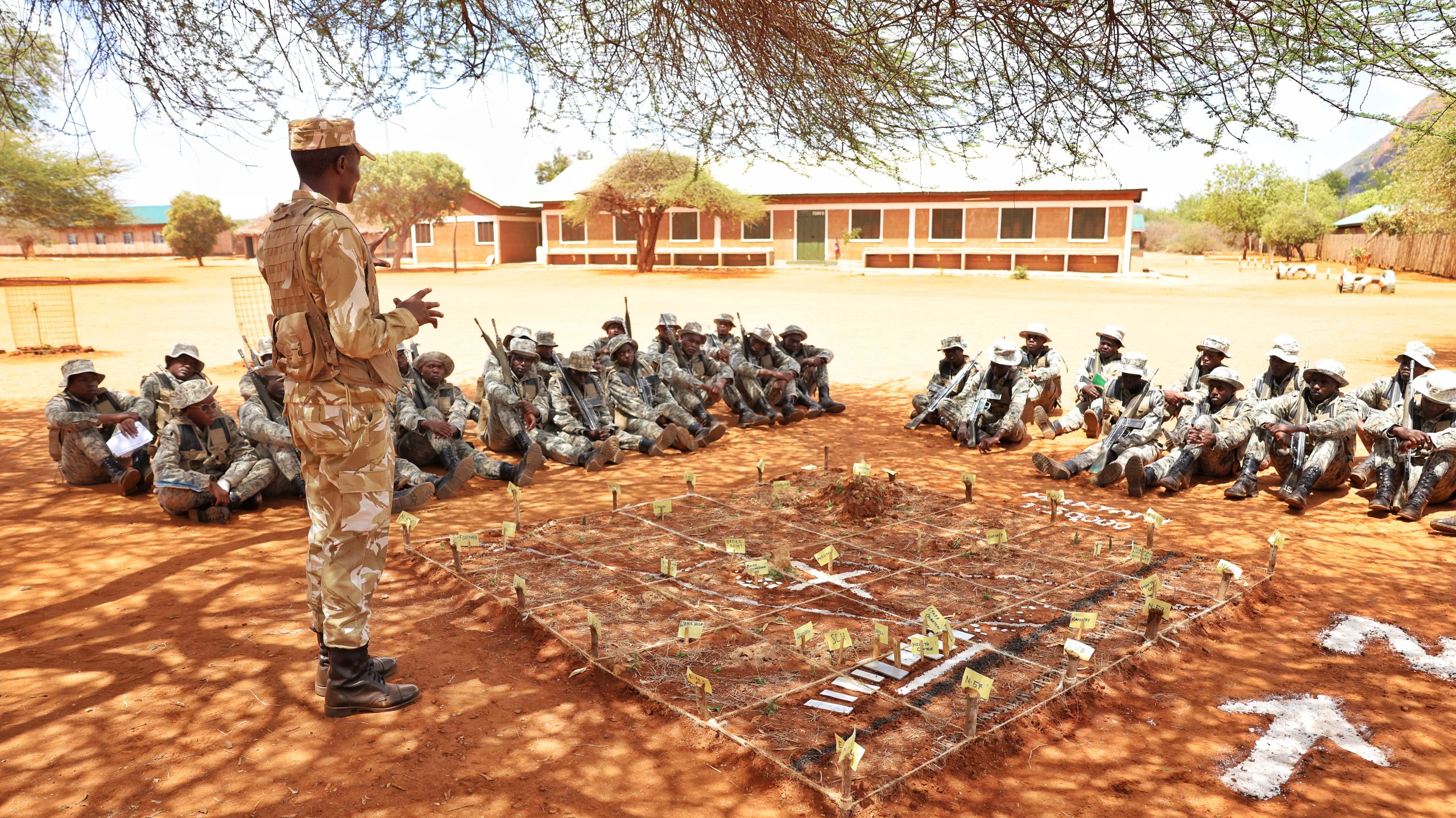
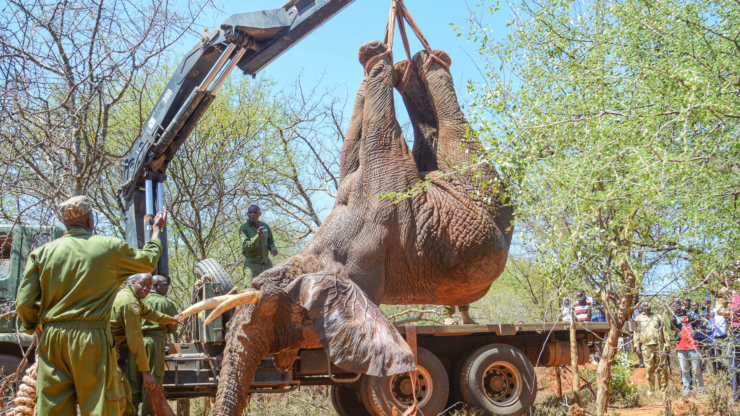
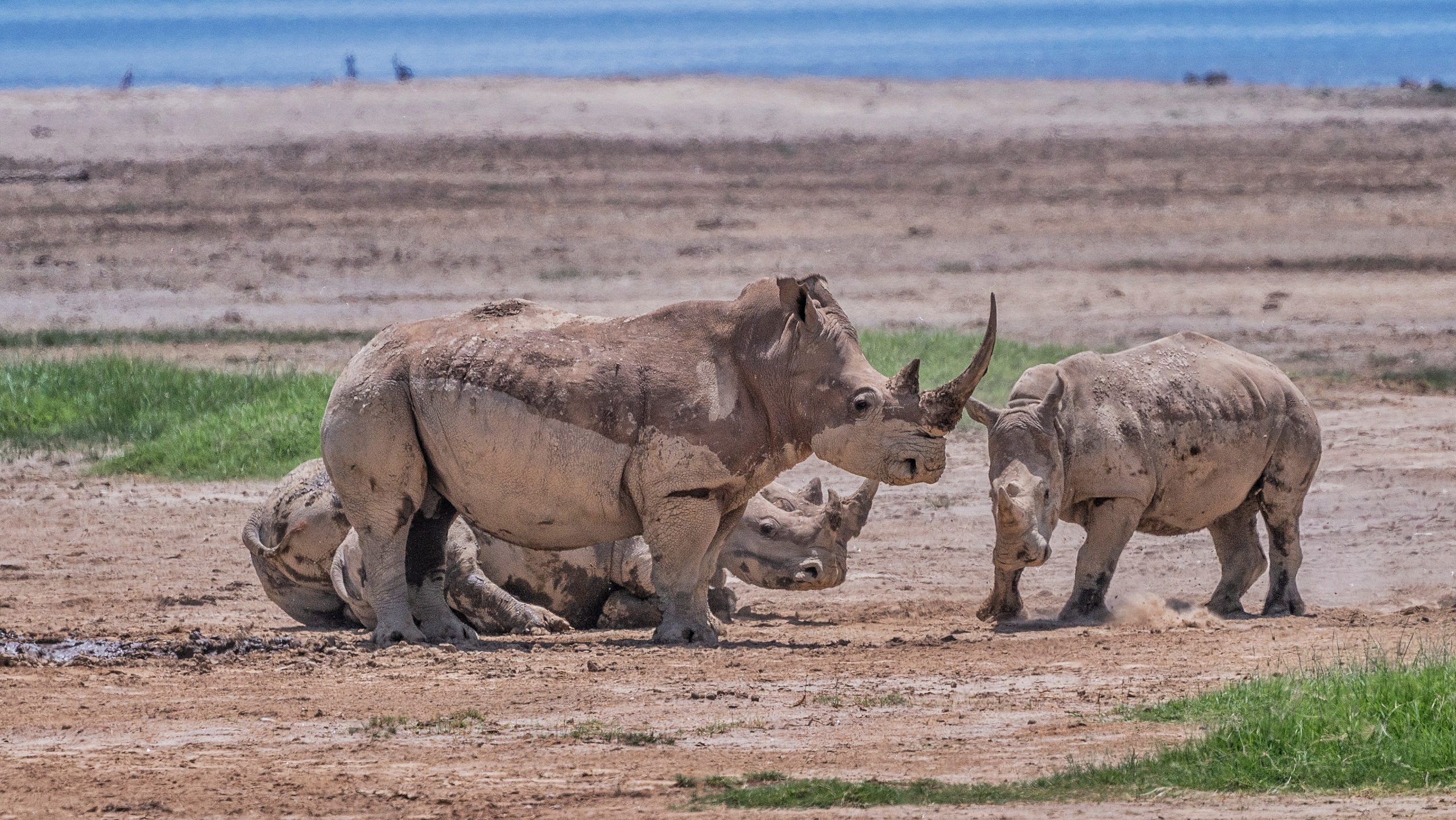
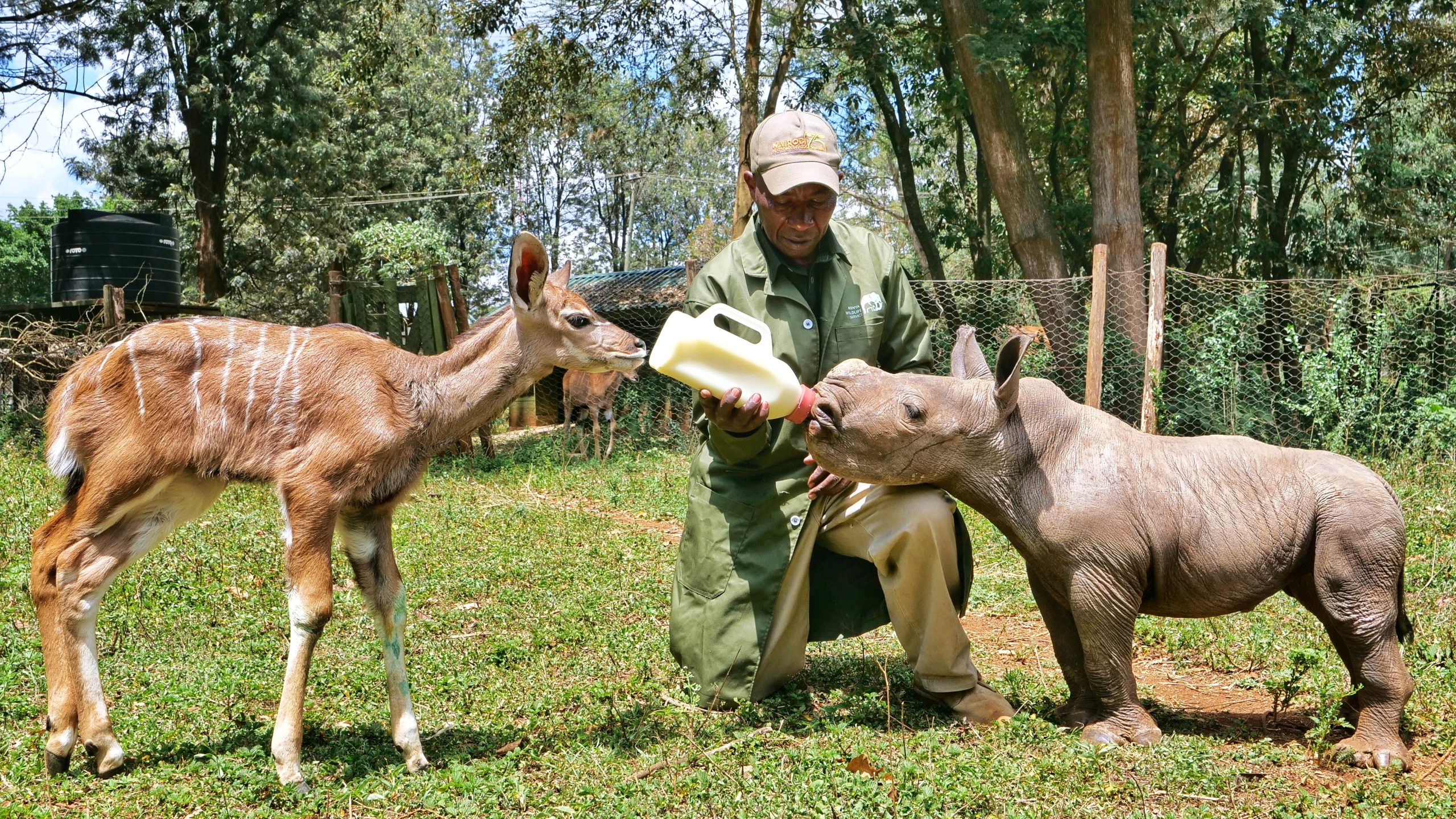
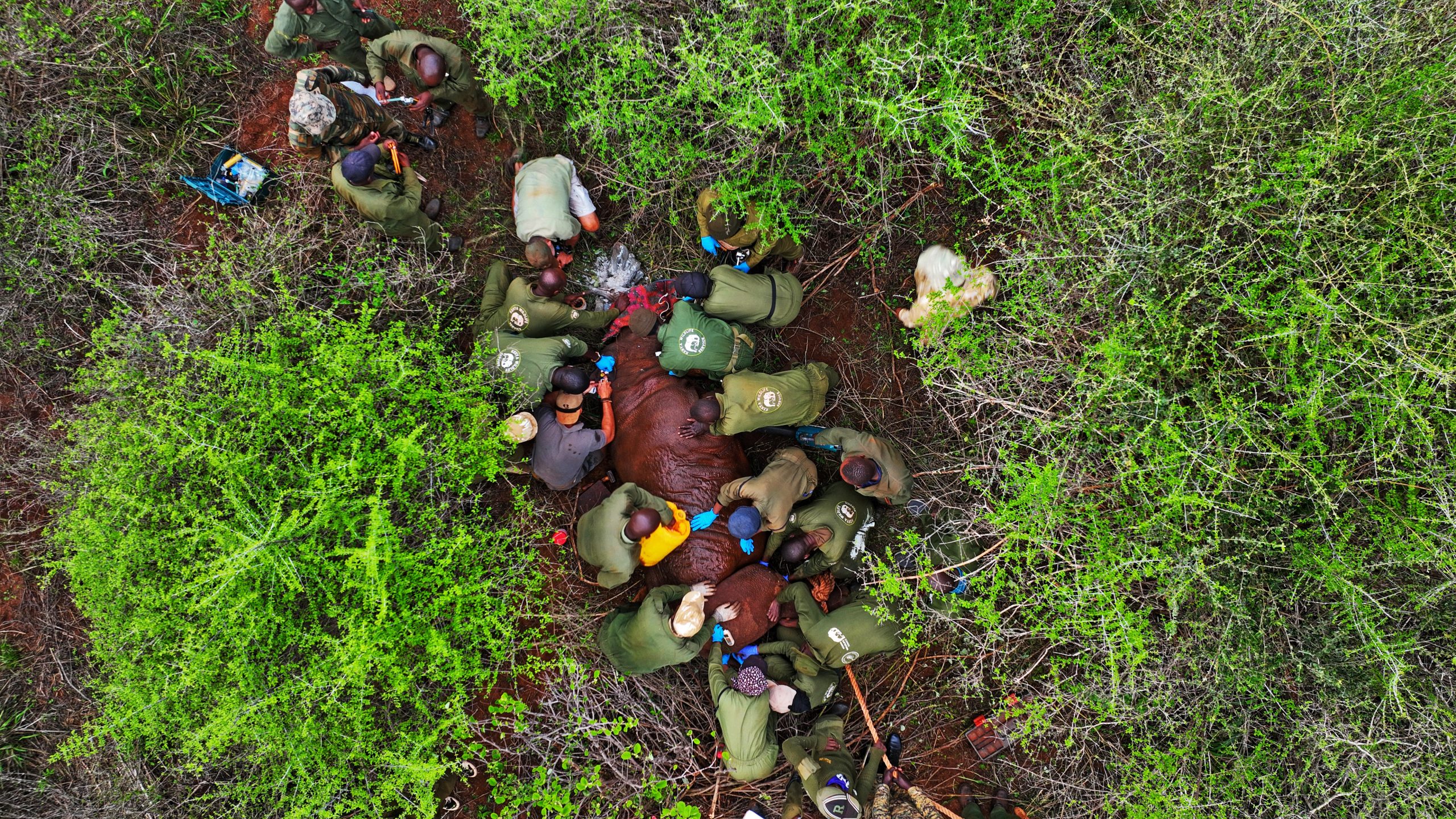

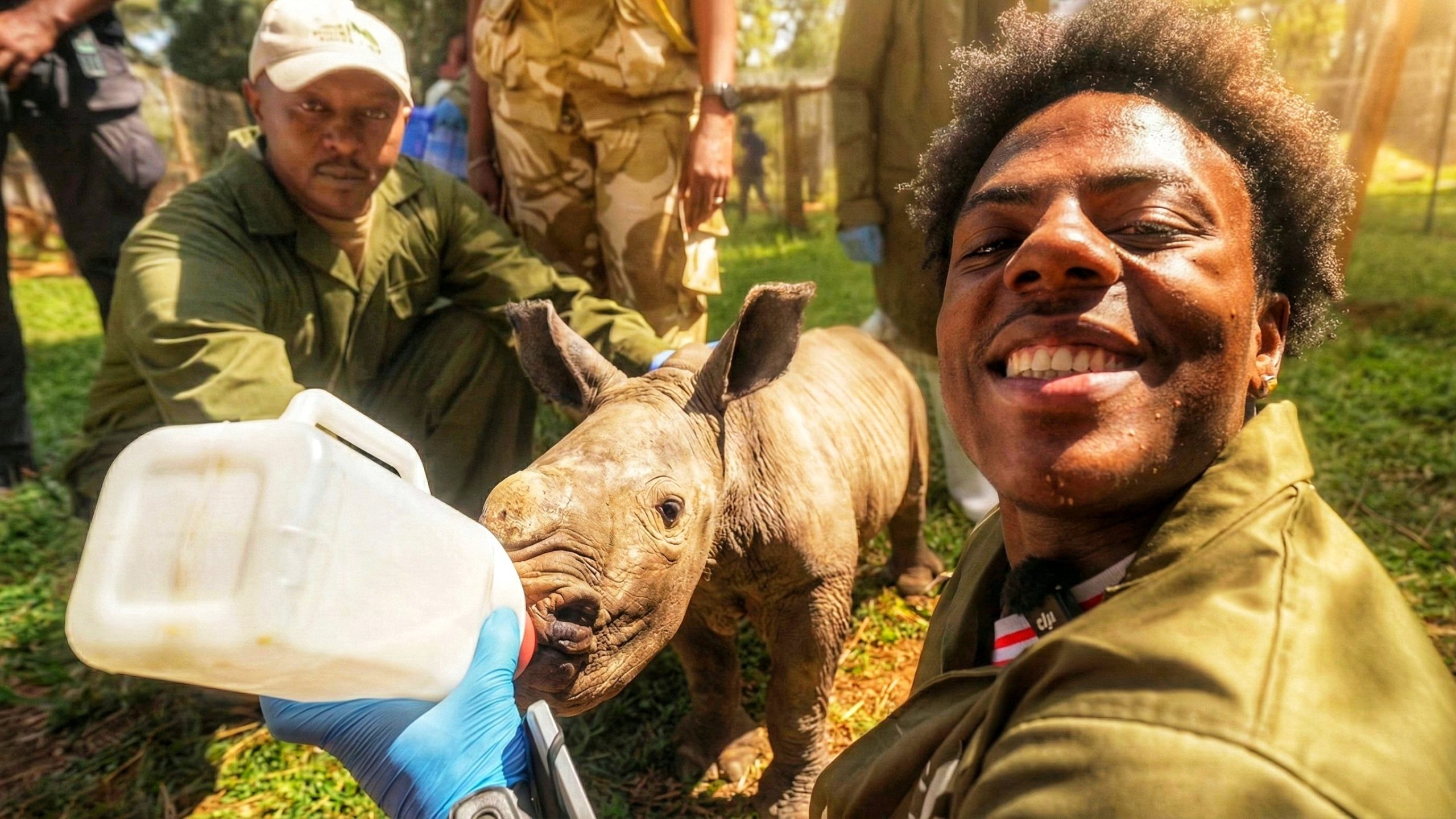

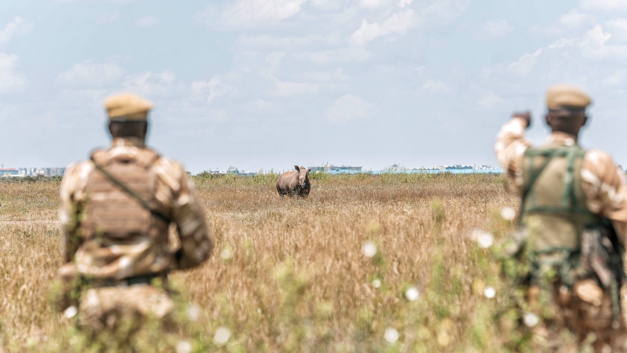
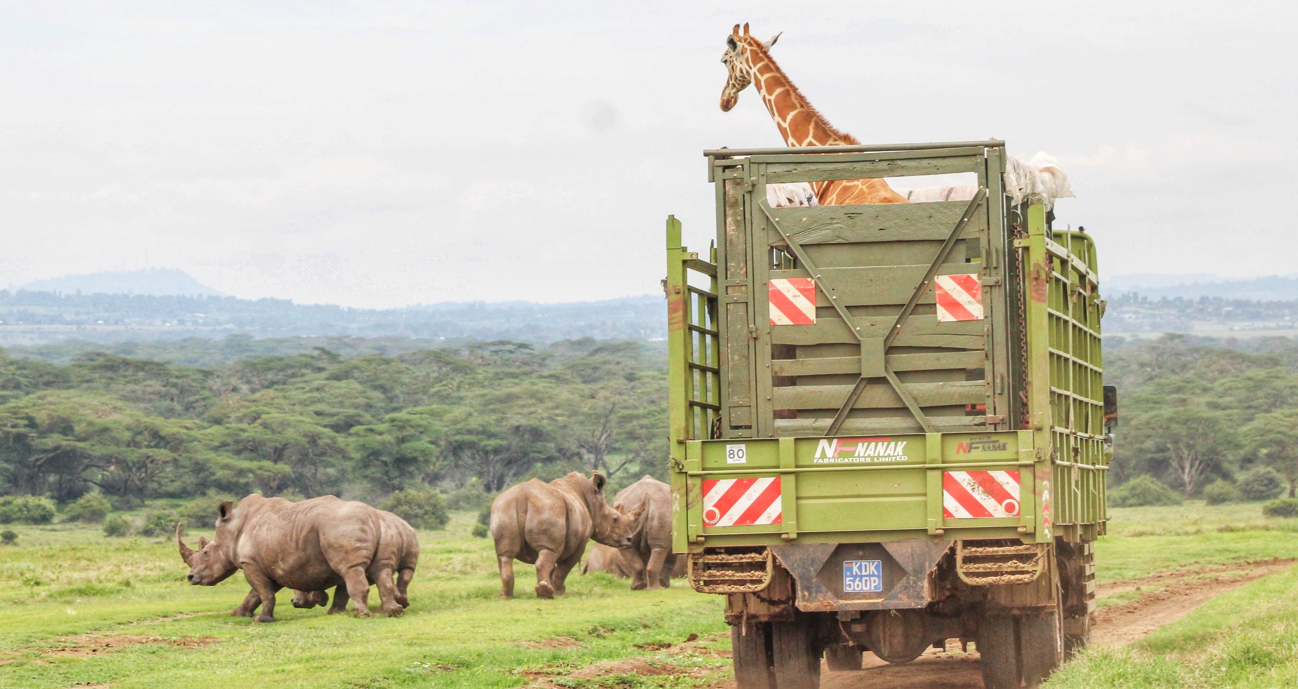

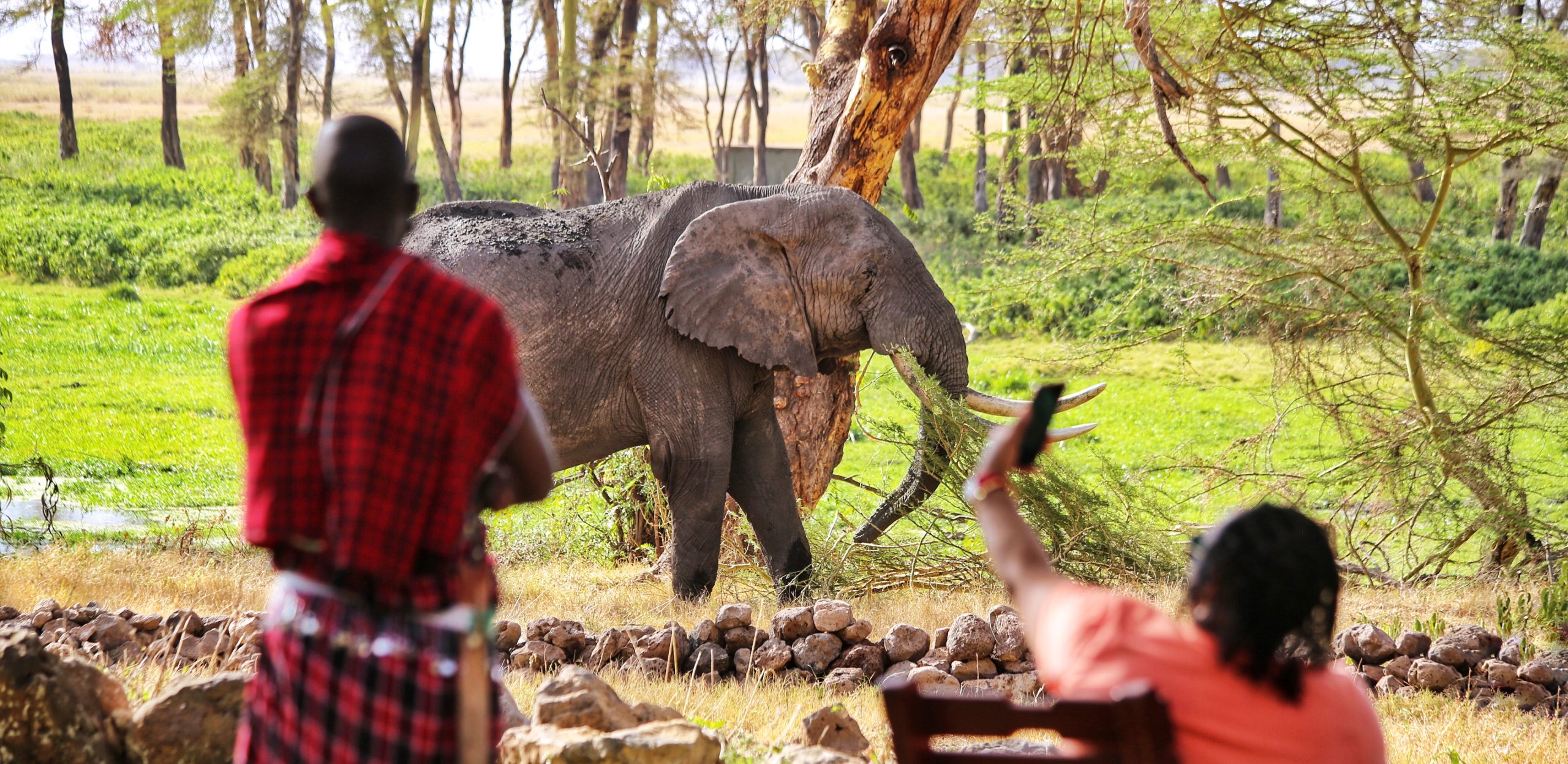
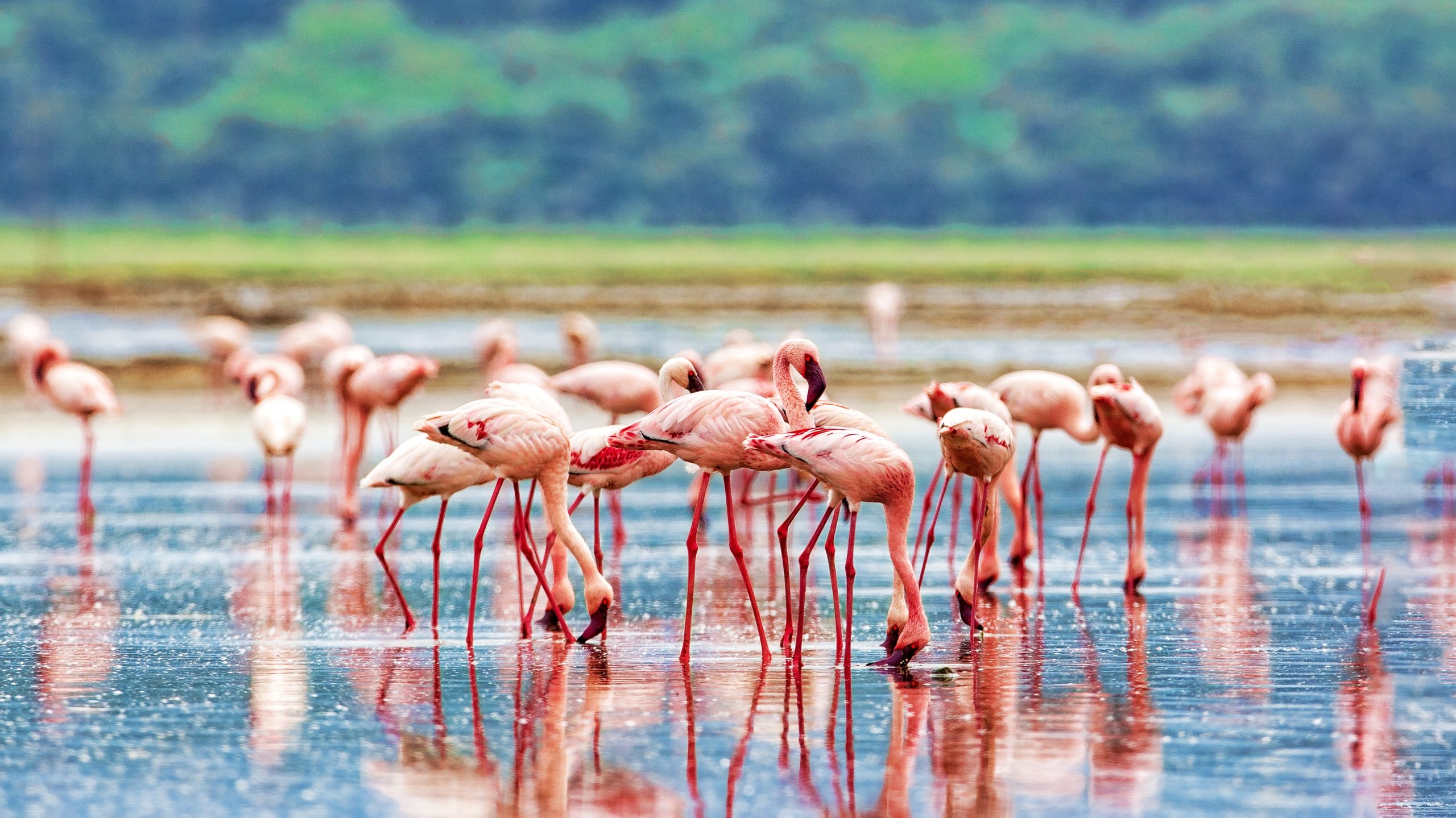
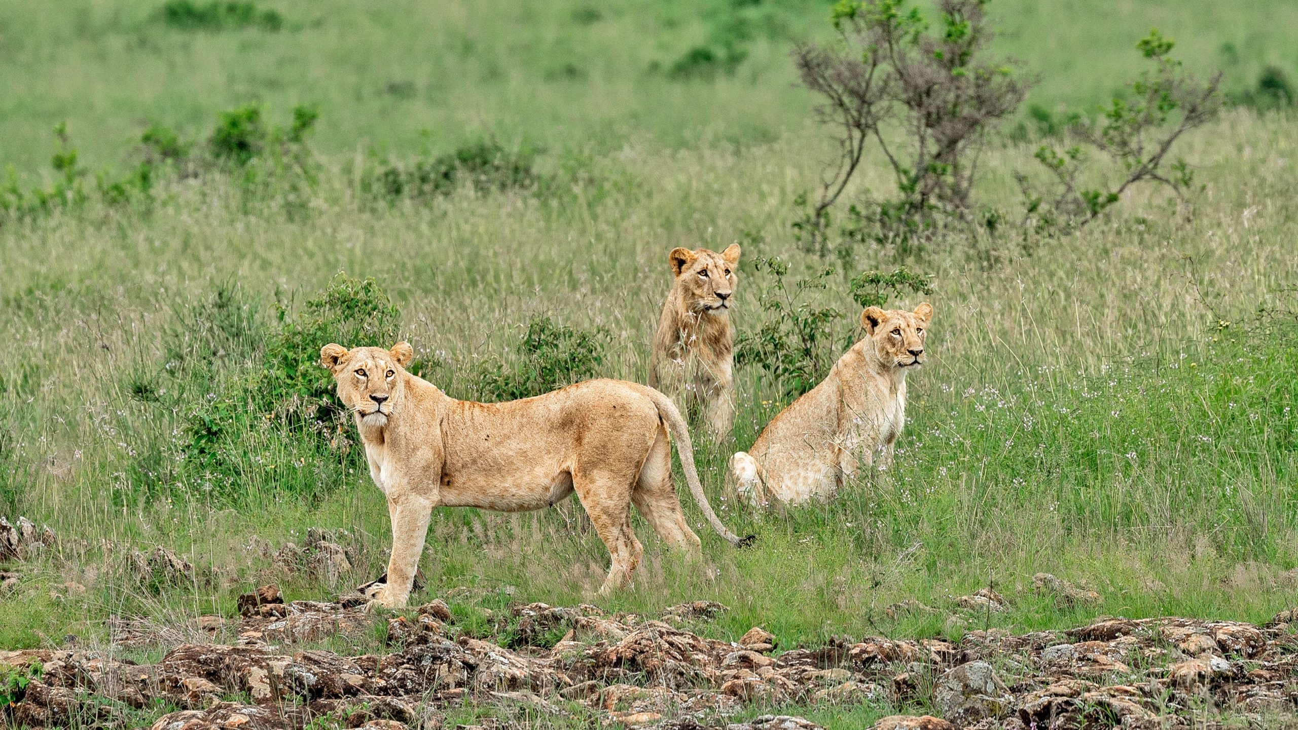
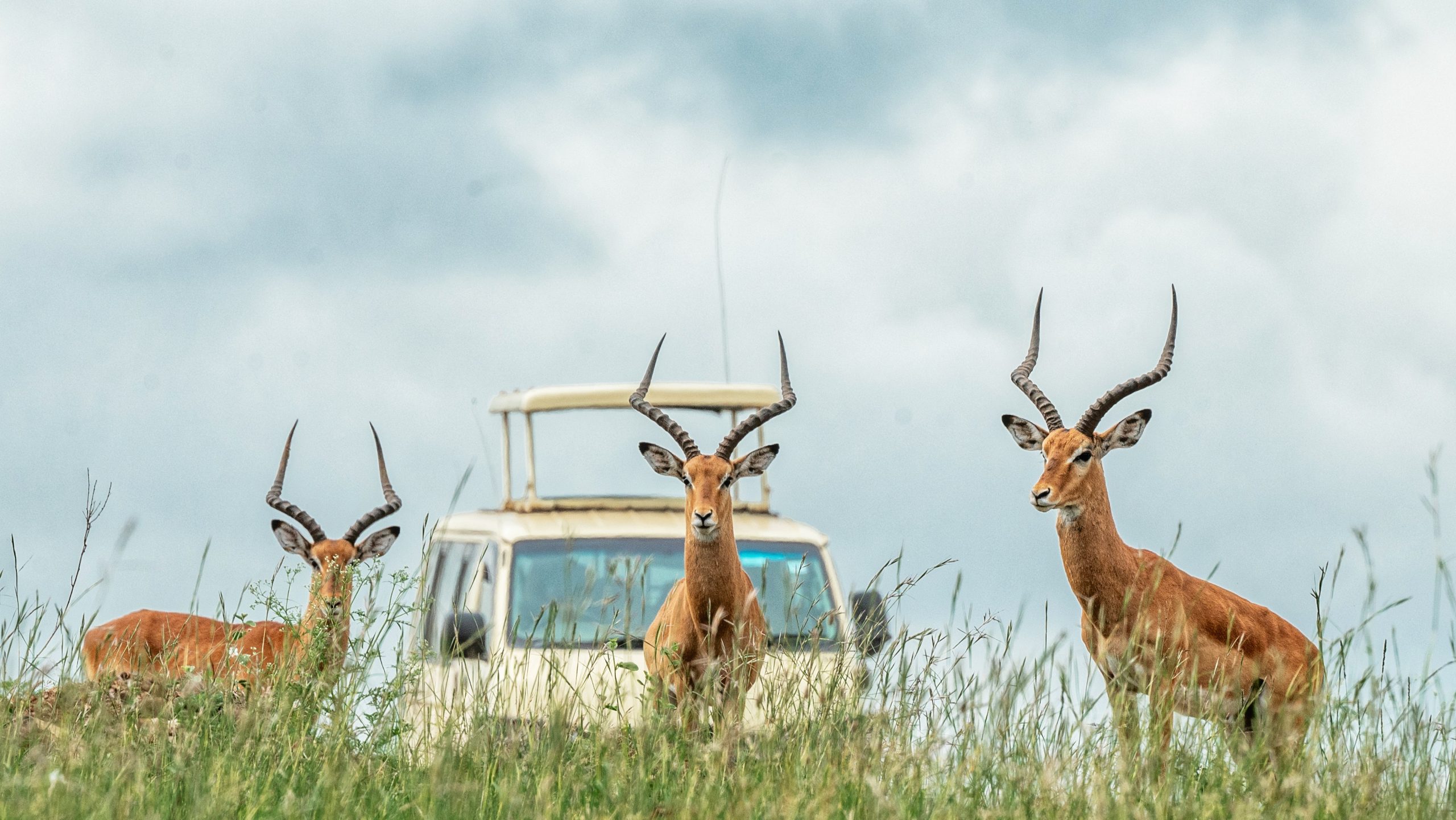
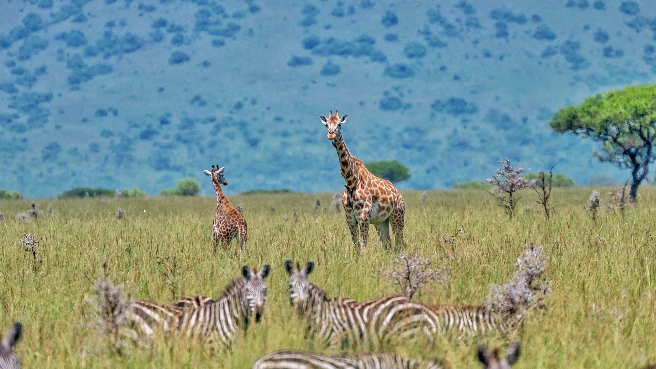
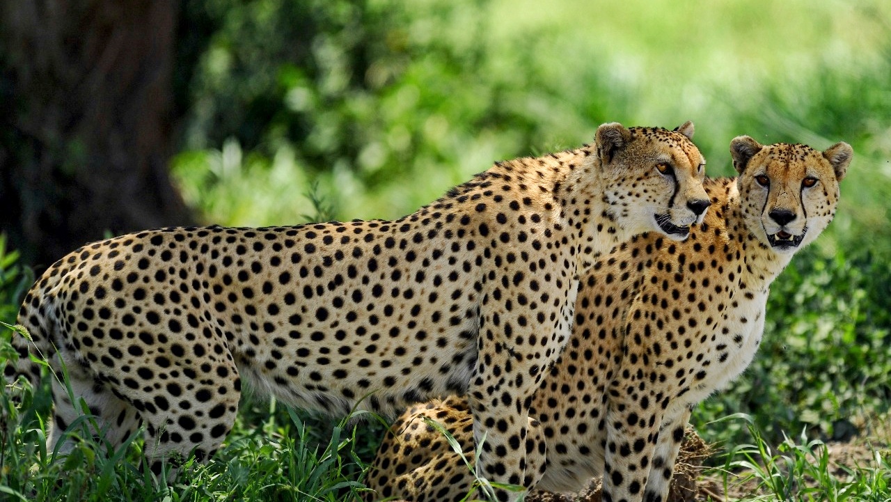

Kenya Wildlife Service leverages on geospatial intelligence, data science and conservation technology to strengthen evidence-based decision-making and improve how conservation work is planned and delivered provide mapping and spatial analysis for management zoning, corridors and ecosystem planning. develop dashboards and performance tools to support operations and strategic planning. provide geospatial support for enforcement and anti-poaching. KWS designs, tests and deploys field technologies including drones, camera traps, acoustic sensors and smart collars, while building staff skills and partnerships that drive innovation, technology transfer and responsible data sharing.